
Mission’s Waterfront is the largest undeveloped river frontage in the Lower Mainland.
The Waterfront Revitalization Master Plan is, at its heart, a set of long-term strategies integrated within the City’s Official Community Plan. Viewed together, these strategies interweave policy, partnerships, and infrastructure to guide how the Waterfront will grow and develop over the next 40 years.
It is important that these strategies are viewed as being flexible so they can guide future growth and development for decades to come while setting clear expectations for success. Together, these strategies will help deliver much needed jobs, a new unified urban heart between Downtown and Waterfront, and renewed natural spaces for all Mission residents to enjoy.
How It Comes Together
With something for everyone, the Waterfront is a place of jobs, Mission’s new urban heartbeat, and a connection to nature right in the middle of the City.
A Place for Jobs
The Master Plan is a plan for jobs. Unleashing the Waterfront’s employment potential is a central part of revitalization, and there are opportunities to shape the area between the Mission Raceway and the CP Rail Bridge to fit the needs of the community for generations to come.
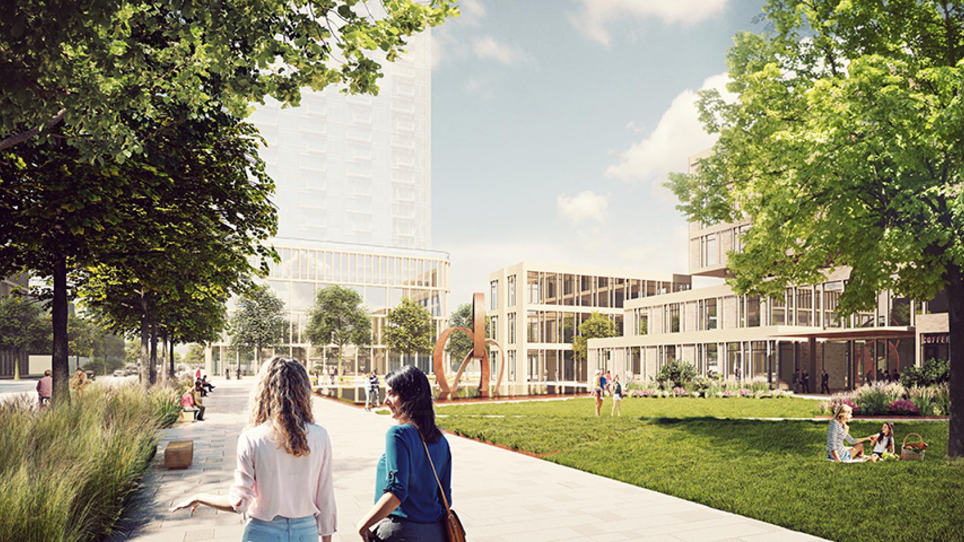
A New Urban Heartbeat
The Waterfront of the future will be home to new and exciting types of businesses, homes, shops, and restaurants. Intentionally complementing and accentuating Mission’s historic downtown, the Waterfront brings a new identity and urban energy to the City without compromising the parts residents already love most.
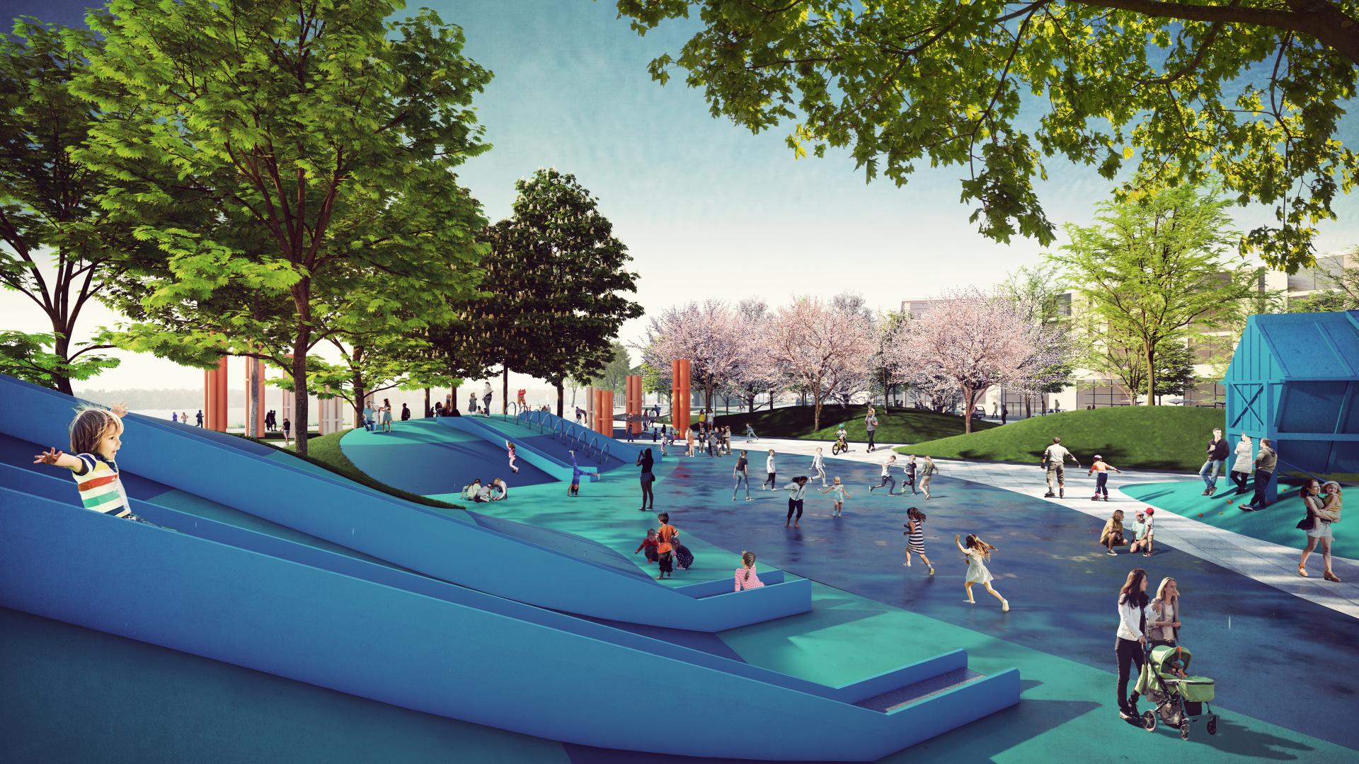
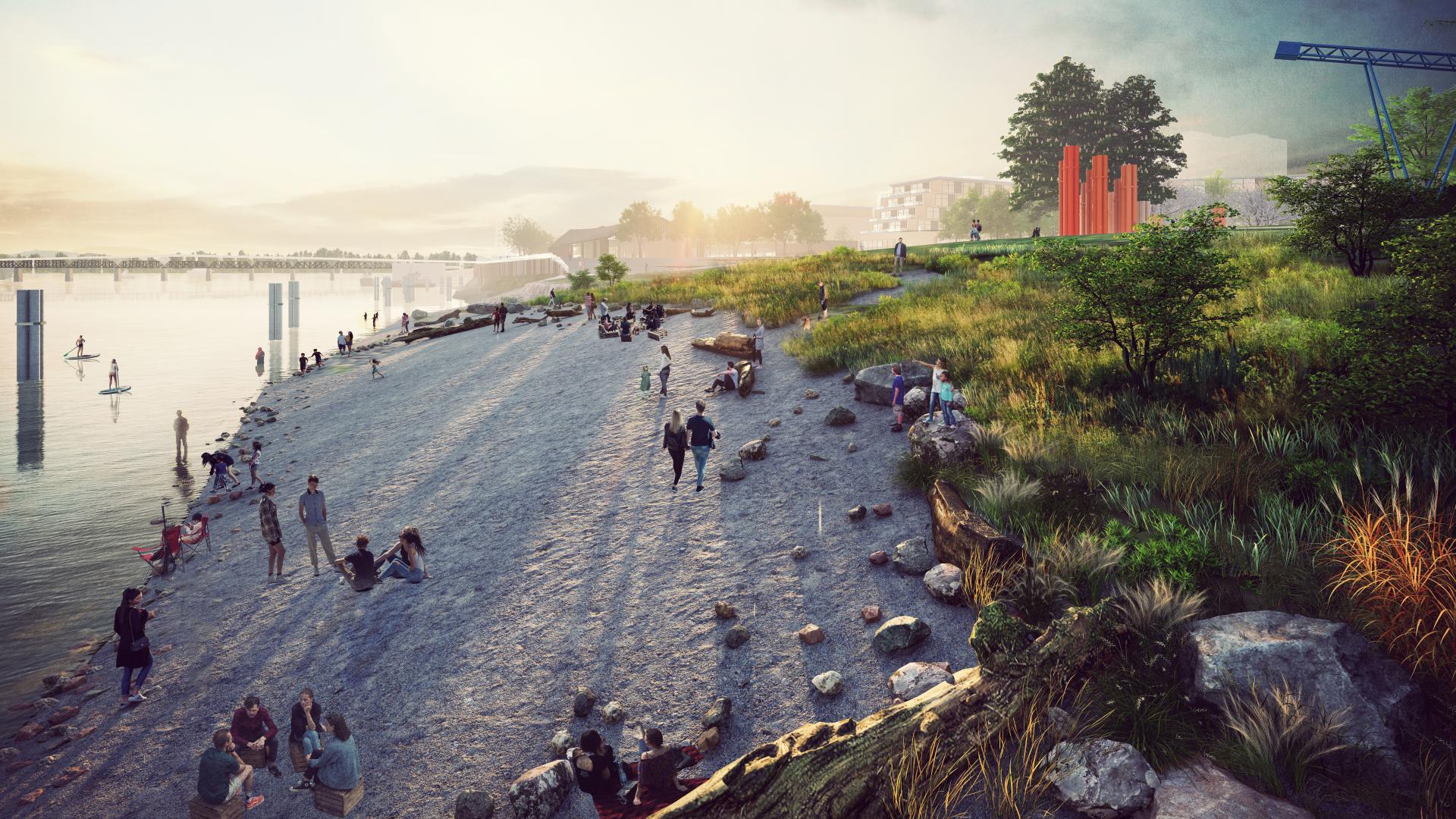
A Natural Waterfront Experience
The Master Plan preserves and enhances the current natural elements of the Waterfront and improves the ecological integrity of areas where it has been diminished. At the same time, these improvements will also add flood protection to areas inland, serving a dual purpose as natural destination and critical infrastructure.
Read the full plan
Access the full plan below, and learn about our progress.
Supporting Documents
Waterfront Technical Studies (pre-Masterplan)
- Geotechnical & Flood Protection
- Civil Servicing (superseded by WRMP)
- Environmental Site Assessment Reports Review (Keystone Environmental Ltd.)
Waterfront Revitalization Master Plan (WRMP)
- Acoustical Evaluation
- Archaeological Overview Assessment
- Potential Contamination Risk Review (Pinchin Ltd.)
- Market Study, Land Value Assessment, Financial Analysis, Cost Recovery Strategy (City Squared Consulting)
- Transportation Study
- Engineering Plan
- Volume 1 (Main Text)
- Volume 2 (Appendices)
- A - Road Drawings
- B - Water Modelling Result Tables
- C - Sanitary Sewer Modelling Result Tables
- D - Harbour Avenue Sanitary Pump Station Design
- E - Sanitary Trunk Sewer Drawings
- F - Drainage Modelling Result Tables
- G - Lane Creek Drainage Pump Station Design
- H - Drainage Trunk Drawings
- I -Dike Drawings
- J - Geotechnical Memo
- K - Class D Cost Estimates
- L - Underpass Vertical Clearances
- M - Electricity & Telecommunications Design
- N - Street Lighting Memo
- Integrated Rainwater Management Plan (IRMP)